
Biodiversity Net Gain | Specialist Watercourse Assessment
River Condition Assessment (RCA) for Biodiversity Net Gain
A River Condition Assessment (RCA) provides physical condition evidence for rivers, streams and canals within a Biodiversity Net Gain assessment. Its findings inform the watercourse module of the Statutory Biodiversity Metric.
ACP Consultants can review your watercourse context, scope appropriate MoRPh field surveys and provide river-condition evidence for planning and design. We start with the site boundary, existing watercourse information and any proposed works nearby.
Prefer to speak to us? Call 0330 236 7329 or contact our ecology team.
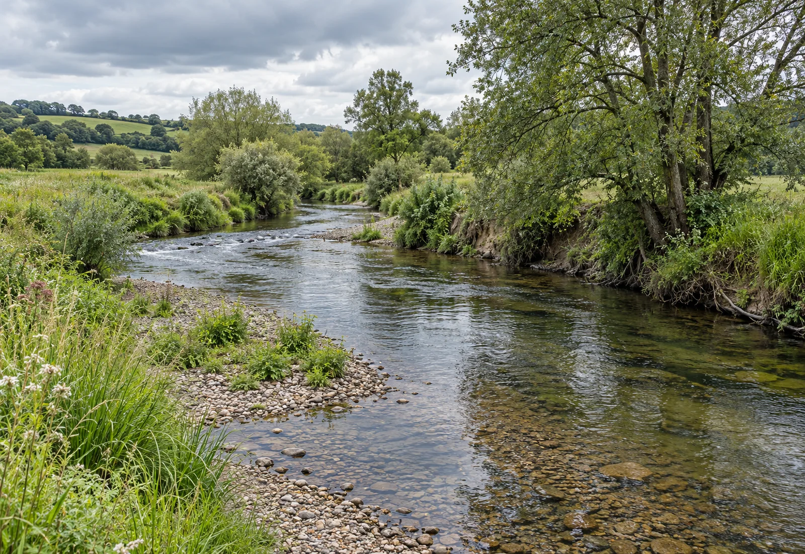
From river survey to BNG evidenceSite-specific scoping, MoRPh field evidence and river-condition results for the statutory metric.
River Condition Assessment at a Glance
An RCA assesses the physical character and condition of relevant watercourses. Its findings support the watercourse module of the Statutory Biodiversity Metric and can identify useful design constraints or opportunities.
Watercourse scoping
Establish which river, stream or canal sections must enter the assessment.
MoRPh field evidence
Record the physical features of the channel, banks and riparian environment.
River Type and condition
Interpret survey evidence in the context of the watercourse’s geomorphological type.
BNG-ready outputs
Provide documented condition results, section mapping and relevant metric inputs.
Do I Need a River Condition Assessment for BNG?
First, confirm whether the project is subject to BNG. Exemptions, application dates and the planning route can affect the requirement. Next, identify watercourses within the site or whose riparian zones overlap the development boundary.
For projects requiring the main statutory metric, relevant rivers, streams and canals use River Condition Assessment. Ditches use the relevant metric condition sheet. Culverts do not require a separate condition assessment, although they must still be classified correctly.
A watercourse can require assessment even if its channel sits outside the red-line boundary. For rivers, streams and canals, the relevant riparian zone extends 10 m from the top of each bank.
Does BNG apply, and does the site boundary overlap a watercourse or its relevant riparian zone?
No Explain why the watercourse is outside this BNG assessment. Other planning and ecology requirements may still apply.
Yes Identify the watercourse type.
River or stream
River Condition Assessment required
A qualified RCA assessor should undertake the condition assessment for the relevant watercourse sections.
Canal
River Condition Assessment required
Canals also use the RCA methodology for condition assessment within the Statutory Biodiversity Metric.
Ditch
Different condition assessment applies
Ditches use the relevant biodiversity metric condition assessment rather than an RCA.
Ditch Condition Assessment for Biodiversity Net GainCulvert
No separate condition assessment
Culverts remain part of the watercourse framework where relevant, but the metric does not require a separate condition assessment for them.
What Is a River Condition Assessment?
River Condition Assessment is a specialist method for describing the physical condition of a river, stream or canal. It considers how the watercourse’s channel, banks and riparian environment function relative to its River Type.
A MoRPh survey records physical features on the ground. The assessor then uses MoRPh5 subreach information and a River Type desk assessment to establish a defensible condition class.
This differs from chemical water-quality testing, a general ecological walkover or Water Framework Directive classification. Those investigations may be useful for a project, but they do not replace RCA where the statutory metric calls for it.
Which Watercourses Require a River Condition Assessment?
Correct watercourse classification determines the assessment route. A narrow, straightened stream is not automatically a ditch. Equally, an engineered river should not be assumed to be a canal.
| Watercourse type | Condition assessment | Riparian zone used by the metric |
|---|---|---|
| Priority river | River Condition Assessment | 10 m from the top of each bank |
| Other river or stream | River Condition Assessment | 10 m from the top of each bank |
| Canal | River Condition Assessment | 10 m from the top of each bank |
| Ditch | Biodiversity metric condition assessment | 5 m from the top of each bank |
| Culvert | No separate condition assessment | Not applicable |
Where a red-line boundary crosses the relevant riparian zone, include the adjoining watercourse length within the watercourse module. Review relevant features across both banks, including riparian areas outside the boundary, as required by the guidance.
Where the feature is confirmed as a ditch, our ditch condition assessment page explains the correct route.
The top of the bank is the break in slope between the river channel and surrounding land. The metric’s riparian zone is an assessment area, not a universal planning buffer.
How a River Condition Assessment Is Carried Out
The RCA method combines watercourse classification, representative field evidence and River Type assessment. The survey design should reflect the length, variety and physical interventions affecting the watercourse.
Scope the watercourse
Review the red-line boundary, mapping and proposed scheme. Identify watercourse types, relevant riparian zones and assessment extent.
Define sections and coverage
Split the assessed length where river condition, character, encroachment or interventions differ. Choose representative locations for each section.
Carry out MoRPh fieldwork
Record channel form, bed material, banks, vegetation and human modifications. Suitable water levels and visibility help produce defensible observations. Five adjoining MoRPh modules form a MoRPh5 subreach.
Determine River Type
Assess the wider geomorphological context, including valley setting, channel planform and relevant bed materials. This ensures condition is interpreted against the correct river type.
Determine river condition
Combine MoRPh5 field information and River Type evidence to establish condition for the relevant sections. Record encroachment separately where required for the metric.
Supply BNG evidence
Map the assessed sections and provide the condition results. Where commissioned, integrate relevant inputs with the watercourse metric calculation and outline realistic design opportunities.
What Does a River Condition Assessment Examine?
A specialist RCA records physical features rather than judging the river by appearance alone. The survey considers its natural form, modification and opportunities for natural processes.
Channel and bed
Bed materials, flow and physical habitat features, channel form and modification.
Margins and bank faces
Vegetation, sediment, bank profiles, reinforcement and exposed materials.
Bank tops and riparian habitat
Trees, plants, land cover and pressures immediately beside the channel.
Physical interventions
Crossings, outfalls, hard engineering, culverts and other constraints.
The wider River Type provides the geomorphological setting for interpreting these observations. A steep or exposed bank is not automatically poor condition: erosion and sediment movement can be natural river processes.
What a River Condition Assessment Looks At
RCA considers the channel, banks and riparian environment within the wider river context

- River channel
The wetted channel and its physical habitat.
- Channel bed
Gravel and other bed materials, recorded under suitable flow conditions.
- Channel margin
The transition between the wetted channel and the bank.
- Bank face
The sloping bank between the channel margin and bank top.
- Top of bank
The break in slope between the bank face and surrounding land.
- Riparian vegetation
Trees, shrubs and other vegetation beside the river.
- Physical modification
Illustrative outfall headwall and bank reinforcement.
- Watercourse encroachment
Reinforcement occupying the bank/channel interface is assessed where relevant.
- MoRPh survey subreach
Dashed blue outline indicates an illustrative subreach only. Actual module lengths and survey placement are scoped by the assessor.
- Site boundary
Dashed red line illustrates a site boundary approaching the river. It is not a real development boundary.
10 m riparian zone
For rivers, streams and canals, measure 10 m horizontally from the top of each bank. The zone applies on both sides of the watercourse.
Schematic, not to scale. Boundaries and survey areas above are illustrative, not a survey plan.
Illustrative river reach. Boundaries and MoRPh locations shown are examples, not a site-specific survey plan.
RCA Survey Coverage and Watercourse Sections
RCA survey coverage must represent the watercourse being assessed. An assessor should divide it into sections where condition, character, interventions or encroachment change meaningfully.
Current Defra guidance asks assessors to meet these combined minimum requirements:
Each section
Survey at least one point within each watercourse section.
Total coverage
Survey a length of at least 20% of the total assessed watercourse length.
Known interventions
Survey known intervention points where possible.
These requirements do not prescribe the total number of visits. More survey work may be needed where the river is variable, access is difficult or interventions need specific evidence.
Record sections separately in the metric. Adjacent sections with similar characteristics may be combined after the full condition assessment.
Worked Example: 500 m of River
A project has 500 m of watercourse in scope. The minimum representative survey coverage is 100 m: 20% × 500 m. However, that coverage must represent the relevant sections and known interventions where possible.
Do not place all survey effort in the most accessible natural reach. Represent the different sections and known interventions where possible.
Short, inaccessible or complex sections may require professional judgement and clear evidence of limitations. This example explains the principle; it is not a site-specific survey prescription.
How RCA Feeds into the Statutory Biodiversity Metric
The statutory metric calculates watercourse units separately from area habitat and hedgerow units. RCA supplies condition evidence for relevant rivers, streams and canals. It does not calculate the overall BNG result on its own.
The watercourse calculation also considers type, distinctiveness, assessed length and relevant riparian-zone or channel encroachment. Baseline and proposed scenarios must use defensible evidence.
Classify the watercourse
Establish RCA condition
Assess riparian and watercourse encroachment
Enter baseline and proposed metric inputs
Calculate watercourse units and net change
Area habitat gains cannot simply be substituted for a watercourse-unit shortfall. The separate metric modules and trading requirements need to be addressed on their own terms.
For the full calculation process, see ACP’s Statutory Biodiversity Metric service.
For a non-specialist explanation, read how to calculate biodiversity units.
Using RCA Findings to Inform Watercourse Design and Enhancement
Early RCA findings help the design team identify river features to retain and pressure points to resolve. They can also support realistic enhancement ideas before the development layout becomes difficult to change.
| RCA finding | Potential design response |
|---|---|
| High-quality existing river features | Retain and protect them within the layout |
| Development close to the bank | Review setbacks and reduce riparian encroachment |
| Poor riparian structure | Consider appropriate riparian enhancement |
| Unnecessary engineered features | Explore removal or reduction where feasible |
| Culverted or heavily modified section | Consider restoration opportunities where technically appropriate |
| Proposed works likely to affect condition | Review the design before fixing the post-development metric |
However, new planting or landscaping does not automatically produce watercourse units. Any claimed uplift must follow from genuine changes in condition, distinctiveness, length or relevant encroachment and be recorded correctly.
Restoration must be feasible. Flood risk, engineering, drainage, navigation, landownership and regulatory requirements can constrain interventions. Consider upstream and downstream effects as well as the individual reach.
RCA evidence is considered alongside the wider BNG assessment and UKHab baseline survey.
What You Receive from an ACP River Condition Assessment
The precise deliverables depend on the agreed brief, the watercourse and the planning stage. We will confirm what is included at quotation stage.
RCA condition assessment
The applicable method and condition information for relevant river, stream or canal sections.
Watercourse section mapping
The assessment extent, section divisions and representative locations, where required.
MoRPh survey evidence
Appropriate observations and supporting records for the surveyed lengths.
River Type and condition results
The geomorphological context and condition evidence used to support scoring.
Riparian and encroachment information
Relevant observations concerning both banks, development interfaces and physical interventions.
Metric support and design advice
Inputs for the wider BNG assessment and, where agreed, advice on practical enhancement opportunities.
The scope should identify the responsible RCA assessor and confirm their relevant qualification. Optional hydrology, water-quality, engineering, monitoring or resurvey work should be priced and agreed separately.
Not Sure Whether Your Site Needs an RCA?
Send us the red-line boundary and any proposed layout or works near the watercourse. We can review the likely assessment route and help scope the work before fieldwork is arranged.
Ask ACP to review my plansWhat We Need to Scope Your River Condition Assessment
Start with whatever information you have. A complete technical pack is not required for an initial enquiry.
- Site location
- Address, location plan or grid reference.
- Red-line boundary
- The current site boundary plan.
- Proposed layout
- Current scheme drawings, if available.
- Watercourse information
- Known rivers, streams, canals, ditches or culverts near the site.
- Proposed works
- Crossings, outfalls, bank work, drainage connections or changes to the channel or riparian zone.
- Existing surveys and constraints
- Ecology, UKHab, BNG, drainage or watercourse information, plus landowner or safe-access restrictions.
Unsure whether the feature is a river, ditch or culvert? Tell us what you know. We can explain what further information may be needed.
Frequently Asked Questions About River Condition Assessment
When is RCA needed for Biodiversity Net Gain?
For a project that needs a statutory biodiversity metric watercourse assessment, relevant rivers, streams and canals use RCA. First establish that BNG applies, then review the watercourse type, site boundary and riparian zone. Ditches and culverts follow different condition-assessment requirements.
Does a river outside the red-line boundary need to be assessed?
Potentially. Where the red-line boundary crosses the relevant riparian zone, the adjacent watercourse length should enter the watercourse module. The zone extends 10 m from the bank top for rivers, streams and canals. Review relevant features across both banks as the guidance requires.
Can we use the Small Sites Metric if a stream crosses the site?
Not simply because the development is small. Where BNG applies and a river or stream needs assessment, use the main statutory metric. The Small Sites Metric has different watercourse restrictions. Confirm the current exemption and eligibility position before choosing either tool.
Does a ditch or culvert need an RCA?
No. A ditch uses the relevant statutory biodiversity metric condition sheet. A culvert does not need a separate condition assessment, although the culverted length may still need recording in the watercourse module.
Who should undertake a River Condition Assessment?
Defra’s statutory metric guidance says an RCA assessor should be qualified. The work needs competence in MoRPh surveys and River Type assessment. Ask for the responsible assessor’s qualification and proposed survey method when agreeing the scope.
How much of the river is surveyed?
Defra’s guidance asks for at least one point in each section, a surveyed length of at least 20% of the total, and known intervention points where possible. Coverage must still represent the watercourse’s condition and variability. The assessor may need more than the minimum.
Does RCA include water-quality testing or guarantee watercourse-unit gains?
No. Standard RCA focuses on physical and geomorphological condition. Chemical water-quality testing is a separate investigation. RCA also does not generate units automatically. The proposed intervention must support any improvement, which must be represented correctly in the statutory metric.
References and Useful Guidance
- Defra: Statutory biodiversity metric tools and guides
Calculation tool, user guide and condition-assessment resources.
- Defra: Statutory Biodiversity Metric User Guide, June 2026
Watercourse classification, RCA, survey coverage, riparian zones and encroachment.
- Defra: Calculate biodiversity value with the statutory biodiversity metric
Applicability and current metric requirements.
- Modular River Survey: River Condition Assessment
MoRPh, MoRPh5 and River Type methodology.
- Defra: Small Sites Metric User Guide, July 2025
Eligibility and the separate watercourse restrictions for the Small Sites Metric.
Speak to ACP About a River Condition Assessment
Tell us where the site is and what you plan to do near the watercourse. Supporting plans can be emailed to hello@acp-consultants.com.
You can also contact ACP Consultants for help with the wider project.