
Statutory Biodiversity Metric calculations
Clear Statutory Biodiversity Metric calculations help you understand your units, test designs and support your planning submission.
ACP Consultants prepares and reviews Statutory Biodiversity Metric calculations for development projects in England. We connect habitat surveys, condition evidence and your proposed plans to show what the numbers mean for your project.
Discuss your metric calculation →FROM SITE EVIDENCE TO A CLEARER BNG POSITION
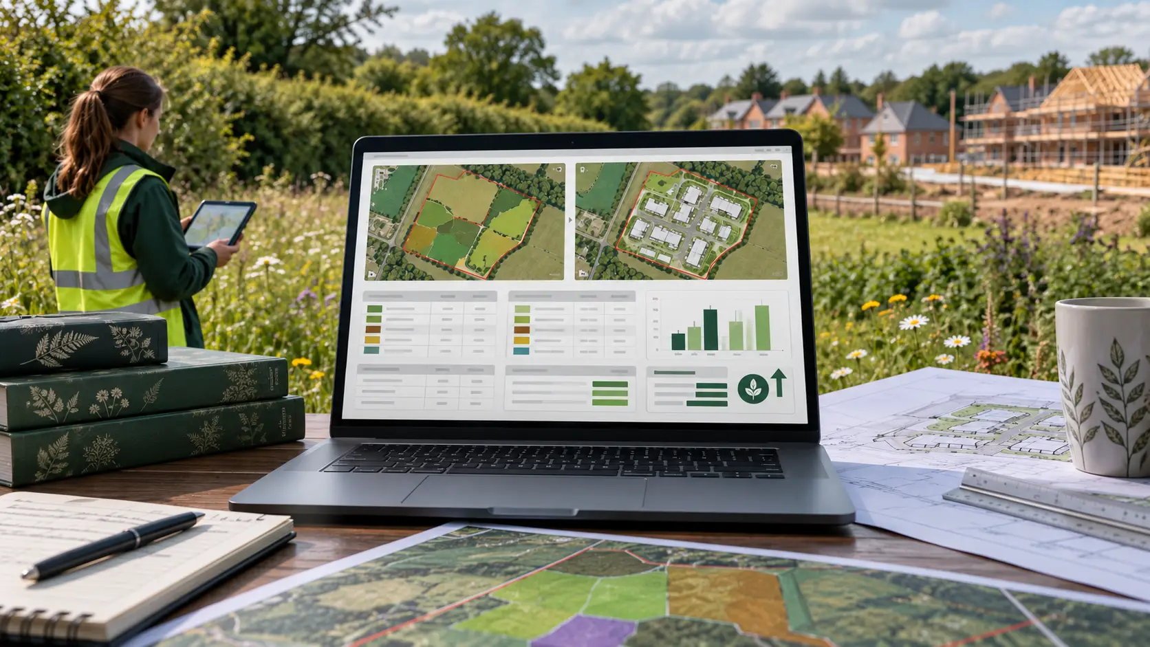
Mapped habitats, measured areas and lengths, supported condition inputs.
Retention, loss, creation and enhancement within the statutory workbook.
Unit gains, remaining shortfalls, trading rules and practical next steps.
START WITH THE RIGHT REQUIREMENT
Do you need a statutory metric calculation?
The Statutory Biodiversity Metric is the official tool for measuring habitat value for mandatory Biodiversity Net Gain (BNG) in England. It compares the existing site with the proposed habitat outcome using biodiversity units.
Where mandatory BNG applies, the statutory minimum is a 10% gain. We also check the relevant local planning policy and the requirements for each applicable unit type.
First, establish whether your development needs BNG and which tool applies. The full metric supports detailed calculations. Qualifying small developments may instead use the Small Sites Metric.
Our service covers new workbooks, design revisions and reviews of existing calculations. For surveys, assessment and the wider planning strategy, see our BNG assessment service.
EVIDENCE BEFORE DATA ENTRY
How our statutory metric service works
A useful calculation should help your team make decisions while options are still open. We check the available information, identify gaps and agree the work needed before preparing the workbook.
- 01
Confirm the brief
Review the site boundary, planning stage, latest drawings and any existing calculation. Agree the outputs and design iterations.
- 02
Check habitat evidence
Match mapped habitat parcels to survey records, measurements and condition evidence. Identify any additional fieldwork needed.
- 03
Calculate and compare
Enter baseline and proposed habitats. Test realistic alternatives and identify shortfalls in each relevant unit type.
- 04
Review and explain
Check rules, assumptions and drawing revisions. Issue the agreed workbook and explain what your project needs to address next.
Need more survey evidence? Explore our BNG habitat surveys and habitat condition assessments.
READ THE RESULT CORRECTLY
More than a single percentage
The workbook reports area habitat, hedgerow and watercourse units separately. A surplus in one unit type cannot simply cancel a deficit in another. Relevant habitat trading rules also need to be met.
We explain which habitats drive the result and whether proposed creation or enhancement is realistic. Timing, delivery difficulty, strategic significance and relevant spatial factors can affect the calculation.
For the underlying method, read how the biodiversity metric works. Our biodiversity units guide explains the calculation in more detail.
Three separate unit types
- Area habitat units
- For habitats measured by area, such as grassland or woodland.
- Hedgerow units
- For qualifying hedgerows and lines of trees measured by length.
- Watercourse units
- For relevant rivers, streams, canals and ditches.
ILLUSTRATIVE WORKBOOK REVIEW
A positive result can still leave a design issue
A revised landscape plan increases area habitat units, but the proposal still removes a boundary hedgerow.
Does the hedgerow module achieve its required outcome, and do the replacement habitats meet the relevant trading rules?
Compare retaining the hedgerow with an appropriate compensation proposal. Recalculate both the units and the rule checks.
This is an explanatory scenario, not an ACP project or a promise of planning approval. The correct response depends on the site evidence.
A WORKBOOK YOU CAN TRACE
What you receive
We agree the deliverables before starting. A typical statutory metric commission combines the calculation with a clear explanation of its assumptions, results and design implications.
| Output | What it gives your team |
|---|---|
| Completed statutory workbook | The relevant baseline and proposed habitat entries, using the official calculation tool. |
| Unit results and rule checks | The position for each applicable module, including gains, shortfalls and trading-rule issues. |
| Recorded evidence and assumptions | A record of the survey information, plans, revisions and assumptions supporting the calculation. |
| Agreed scenario comparison | An explanation of how the layouts or habitat proposals included in your scope change the result. |
| Practical next steps | Advice on outstanding evidence, design decisions or further BNG work needed before submission. |
The workbook is not the whole planning package. Confirm whether your scope also needs a BNG report, Biodiversity Gain Plan or habitat management plan.
QUALITY ASSURANCE
What we check before issue
A workbook can produce a number even when its inputs need more work. We review the evidence behind the entries and explain uncertainties that could affect the result.
Our checks connect the habitat survey, habitat mapping and development plans. Where these disagree, we identify the issue before relying on the calculation.
Already have a workbook? We can review it against the current proposal, identify missing evidence and agree which revisions are needed.
Ask about a metric review →- Coverage and measurements. Relevant habitats within the red line, parcel references, areas and lengths match the plans.
- Habitat classification and condition. Inputs reflect suitable survey evidence and the relevant assessment criteria.
- Retention, loss and proposed habitats. Entries consistently reflect the latest design, without double counting.
- Rules and delivery assumptions. Trading rules, realistic target condition, timing and applicable risk factors receive appropriate checks.
- Version control. The issued workbook identifies the supporting drawing revisions, assumptions and outstanding limitations.
HELP US UNDERSTAND YOUR PROJECT
What information do we need?
Start with your site location, red-line boundary and latest plans. Include the planning stage, deadline and any request from the council.
If available, send your UKHab survey, condition records, habitat map, landscape proposals and existing metric workbook. Editable CAD or GIS information can help us check measurements.
Not everything ready? That is fine. We can identify gaps and explain what can progress now. We will not treat unverified assumptions as survey evidence.
SCOPE, FEES AND PROGRAMME
How much does a statutory metric calculation cost?
We provide a project-specific quotation. The fee depends on the evidence available, habitat complexity, number of scenarios and the support required.
Where suitable survey data and plans already exist, the commission may focus on the workbook and review. Where evidence is missing, additional survey or mapping work may be needed.
Tell us your submission deadline early. We can then confirm a realistic programme and explain any dependencies on site access, fieldwork or design decisions.
CLEAR ADVICE, RESPONSIBLE DECISIONS
Ecological judgement behind the numbers
We want your team to understand what the calculation supports and what still needs attention. If a proposal creates a habitat issue, we explain it and help you explore a practical response.
Evidence you can follow
Understand how the survey and plans connect to the issued workbook.
Useful design discussion
Give your architect, landscape designer and planning adviser a clear basis for the next decision.
Honest limitations
Know where further work is needed. A metric result does not guarantee planning permission.
PRACTICAL ANSWERS
Statutory Biodiversity Metric questions
Can I still use Biodiversity Metric 4.0?
For mandatory BNG, use the statutory calculation tool. Biodiversity Metric 4.0 is its predecessor, rather than another name for the statutory metric. Defra provides guidance on transferring existing 4.0 data. We can review what can be reused and what needs checking.
Where can I download the official calculator and user guide?
Use the GOV.UK statutory metric tools and guides. That page includes the workbook, user guide, condition sheets and version history. Defra permits previously published statutory versions; we record the version used and check the relevant guidance.
Do I need an ecologist to complete the calculation?
GOV.UK recommends a competent person, such as an ecologist, for the full metric. The planning authority can question calculations where competence or evidence is inadequate. Different arrangements apply to eligible Small Sites Metric projects, although separate ecology advice may still be necessary.
Can you review a metric prepared by someone else?
Yes. Send the editable workbook, supporting surveys and latest plans. We agree whether you need a targeted check, an update or a wider review. If the evidence is incomplete, we explain the limitation and any additional work needed.
What if my calculation shows a biodiversity shortfall?
We check the inputs, relevant unit type and habitat trading rules first. We can then compare design changes, habitat retention and appropriate creation or enhancement. If off-site provision is needed, we explain the remaining requirement and the applicable delivery route. Statutory credits are a last resort.
When should the metric be updated?
Revisit it when habitat evidence, the site boundary, layout or landscape proposals change. Keep the workbook aligned with the drawing revision used for submission. Early testing gives your team more opportunity to respond before the design becomes difficult to change.
Does the metric replace protected-species surveys?
No. The metric measures habitat value for BNG. Protected species, designated sites and irreplaceable habitats need appropriate separate consideration. A positive unit result does not remove those requirements.
YOUR NEXT STEP
Let’s scope your metric calculation
Tell us the site location, planning stage and target submission date. We can review what you have and explain the next steps.
For an existing workbook review, include the latest plans and the issue you need help with. You can email supporting documents when we discuss the scope.
0330 236 7329
hello@acp-consultants.com
No complete survey pack yet? Start with your boundary and available information.
OFFICIAL SOURCES
Tools and guidance
- Defra: statutory metric tools and guides — official workbook, user guide, condition sheets and version history.
- GOV.UK: calculating biodiversity value — inputs, competence and use during design.
- GOV.UK: BNG exemptions — check the development and application date before choosing a route.
Guidance reviewed: 11 October 2026. This page describes ACP's service and provides general information for development in England. Requirements depend on the site, planning route, application date and habitats affected.
The relevant authority decides whether submitted information is acceptable. A biodiversity metric calculation does not guarantee planning approval or replace other ecological requirements.